A seismic avalanche likely couldn't have ground to a halt at a better spot just south of Revelstoke Wednesday afternoon, after plowing 7,000 vertical feet down Mount Cartier to terminate right at the edges of Airport Way.
No people or property have been reported harmed.
Photos show a dense white slide of snow, at some points roughly 50 metres wide and 10 metres deep, frozen in time after reportedly descending the 8,560-foot mountain's west-facing Greenslide gully the afternoon of March 26.
Numerous small trees lie uprooted and flattened on the fringes of Revelstoke's southernmost road, with a boulder-like snowbank accumulated several metres high along stretches.
Despite sparing nearby communities of damage or road delays, this avalanche brings a rude awakening close to home at a time of year when snow along the Columbia River and surrounding treeline areas has largely melted.
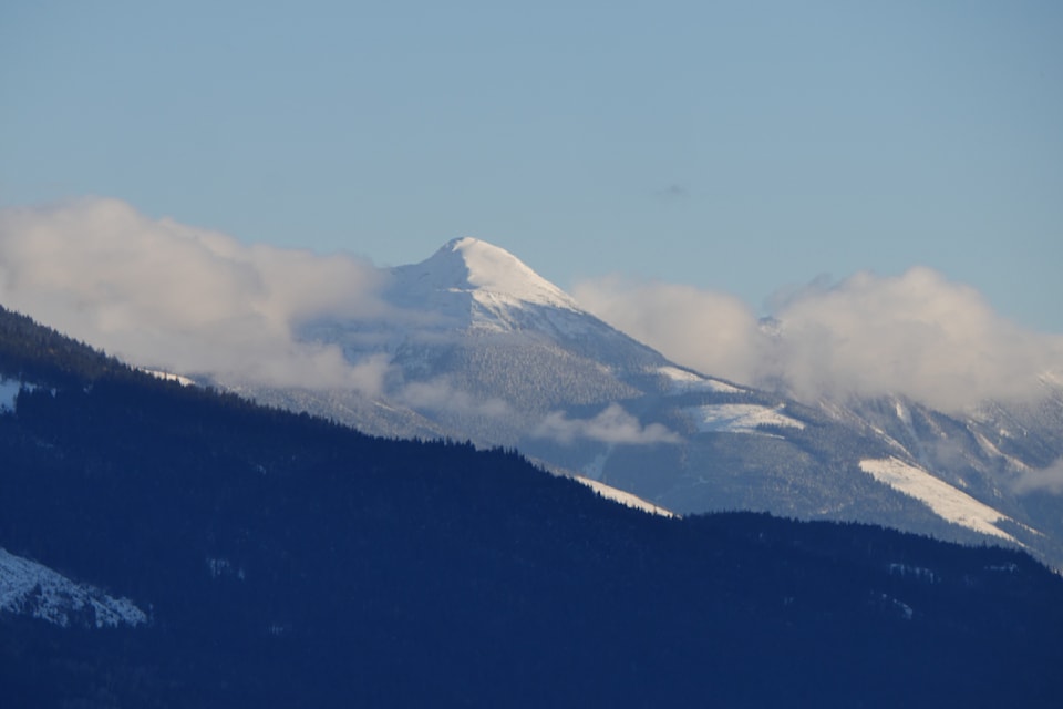
The Greenslide avalanche path is one of southern B.C.'s largest, stretching three kilometres between Mount Cartier's peak and the river. And according to Greg Paltinger, district avalanche technician for the Ministry of Transportation and Transit, "it's the longest-lasting avalanche vertical in the province that affects a highway" or other major road.
Unlike stretches along the Trans-Canada Highway, "it's a path we do not mitigate with explosives," Paltinger said.
He classified Wednesday's avalanche as a D4 size "by definition," meaning it grew large enough to theoretically destroy a train car or four hectares of forest.
And while something of this scale is a once-in-30-year event, Paltinger added, it's evidently happened more often than that the last couple decades that a large slab up the mountain has loosened due to destabilizing warm weather.
Back in May 2017, an avalanche tumbled down Mount Cartier's same Greenslide path, spilling out 100 metres across Airport Way, layering the road in some six metres of compact snow, and destroying countless trees along the way.
Read Black Press Media's coverage of the 2017 incident here
Three years prior in March 2014, a "massive avalanche" ripped down Greenslide, blocking Airport Way south of Greenslide Road. It crossed the road 200 metres shy of nearby residences, and marked Greenslide's largest avalanche since 1977.
Read Black Press Media's coverage of the 2014 incident here
The Greenslide avalanche path's start zone overlaps with Mount Cartier's summer trail.

