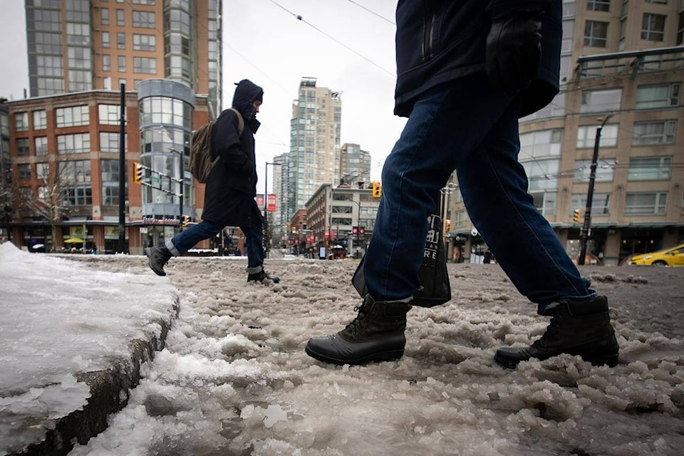
Winter鈥檚 grip on southern British Columbia may hang on as a few flurries remain in the forecast for parts of Metro Vancouver and the Fraser Valley.
Meteorologist Derek Lee with Environment Canada says anotherlow-pressure system could bring flurries for Saturday and Sunday, but it won鈥檛 be widespread, and will likely fall in Eastern Metro Vancouver and the Fraser Valley.
While it鈥檚 not unusual to see snowfall in February for southern B.C., Lee says seeing it stick around is more uncommon, and there鈥檚 no signal for warming in the upcoming week.
Lee said below-zero temperatures will stick around for the Lower Mainland and it could even get colder, especially overnight, dropping to as low as -8 C, but it will be sunny during the day.
Arctic outflow warnings remain in place for a few areas of the province, including the Whistler Valley and Inland regions of the North Coast, where wind-chill values could reach -20 C.
An extreme cold warning is in place for Yoho and Kootenay national parks, where the arctic airmass combined with winds are giving wind-chill values near -35 C.


