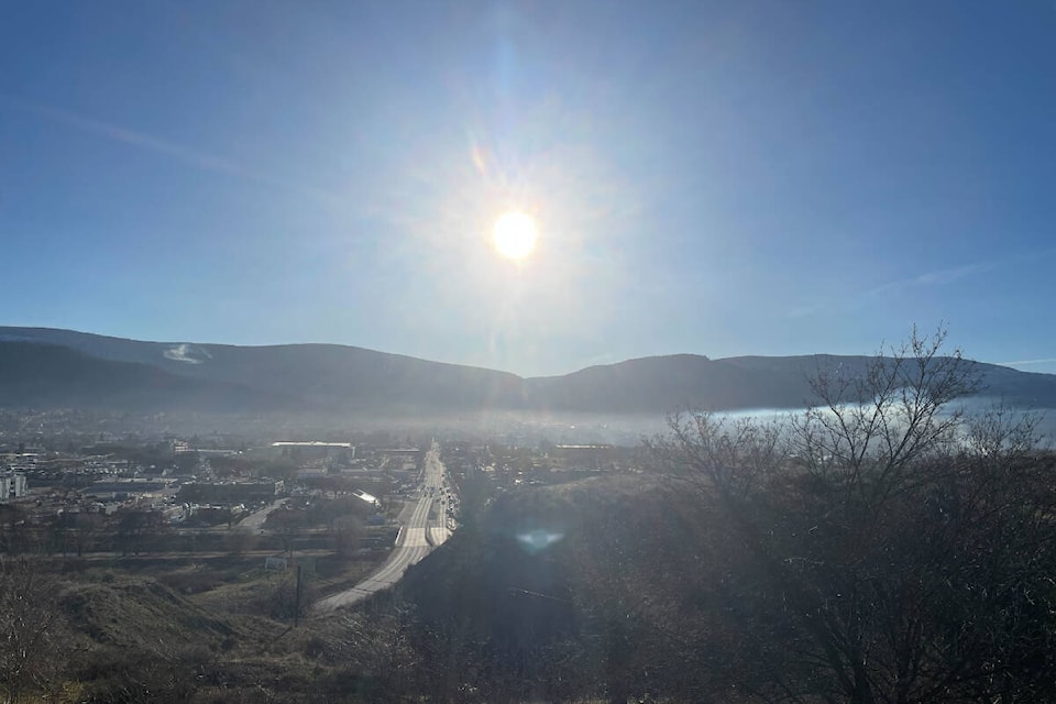
Winter could soon feel like a ŌĆ£distant memoryŌĆØ because spring will be in the Okanagan air before the season officially starts on the night of March 19.
Environment Canada says the sun will be out and shining this weekend when temperatures are 5 to 10 C warmer than normal and reach daytime marks of 18 C.
ŌĆ£Things have been relatively cool, but now weŌĆÖre going to see quite a dramatic warm-up when this high ridge of pressure warms over the province,ŌĆØ said Alyssa Charbonneau, a meteorologist at the federal department.
Charbonneau says temperatures in the Okanagan and Shuswap from March 16 to 18, will feel ŌĆ£more like April or MayŌĆØ and that no precipitation is forecasted for the region until at least the middle of next week.
ŌĆ£ItŌĆÖs like weŌĆÖre skipping March,ŌĆØ she added.
The expected rise in temperature comes after Vernon, Penticton and ┬ķČ╣Š½čĪ experienced their 11th, 12th and 16th warmest winters ever, respectively, according to Environment Canada. Records date back to the early 1900s.
Penticton, in particular, led the region in precipitation by recording 109.7 millimetres. ThatŌĆÖs 145 per cent higher than the cityŌĆÖs average wintertime mark.
ŌĆ£It was a winter of extremes,ŌĆØ Charbonneau said. ŌĆ£At times, extremely dry and cold, but other times, quite mild with a fair amount of precipitation.ŌĆØ
Although temperatures are expected to rise later this week, the meteorologist warns that a return to mild wintertime conditions is always possible.
ŌĆ£ThereŌĆÖs a strong hint that things will return to seasonal by [the middle] of next week, which is about 8 C with an overnight low of -2 C,ŌĆØ Charbonneau said.
ŌĆ£I donŌĆÖt like to say winter is over too soonŌĆ”spring can be quite unpredictable at times, but certainly for the next week or so, winter will feel like a distant memory.ŌĆØ
Daytime marks in all three aforementioned cities, as well as Salmon Arm, will reach 16 C on Saturday and hit highs of up to 18 C through Monday, March 18.
READ MORE: B.C. fruit and grape growers get $70M to replant damaged crops


